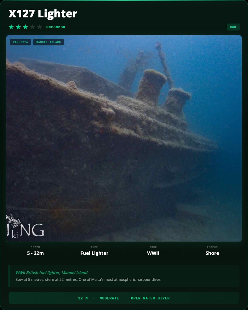
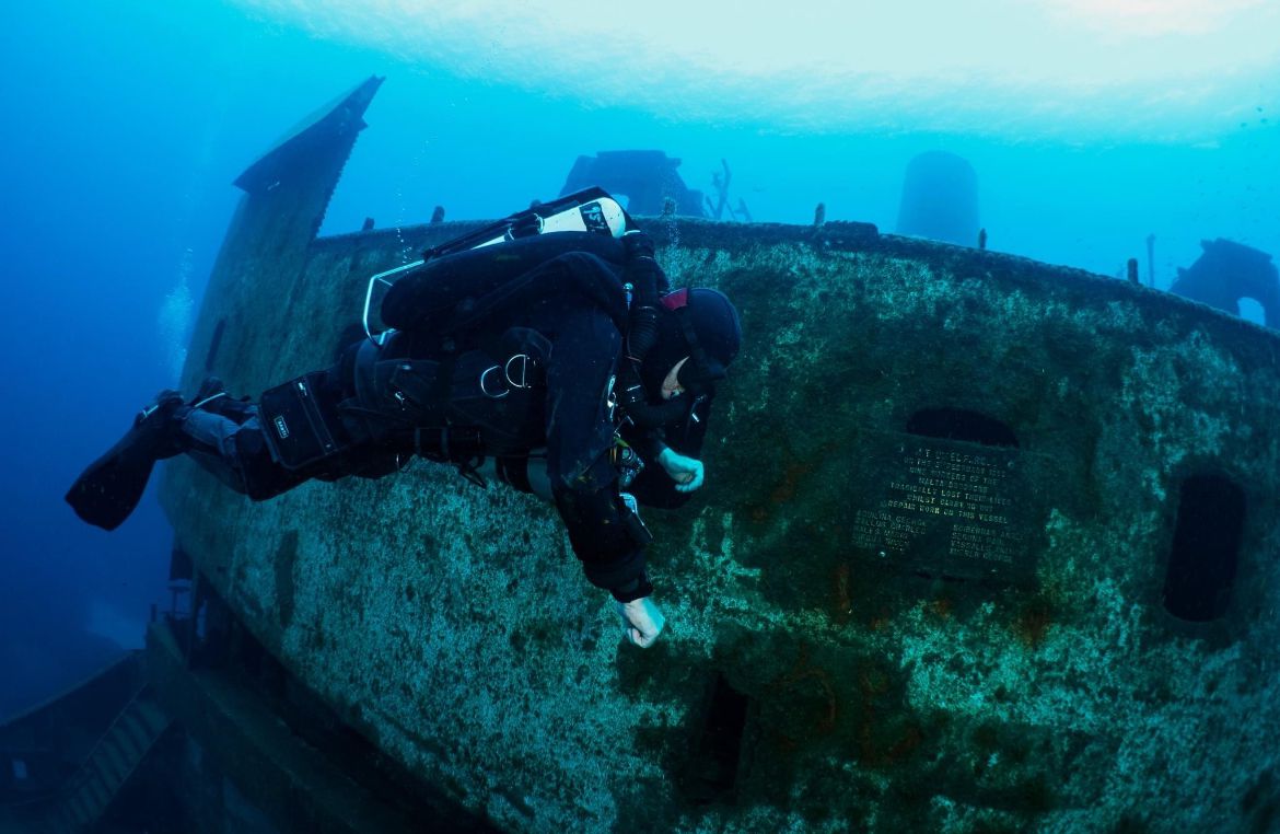
What to Explore

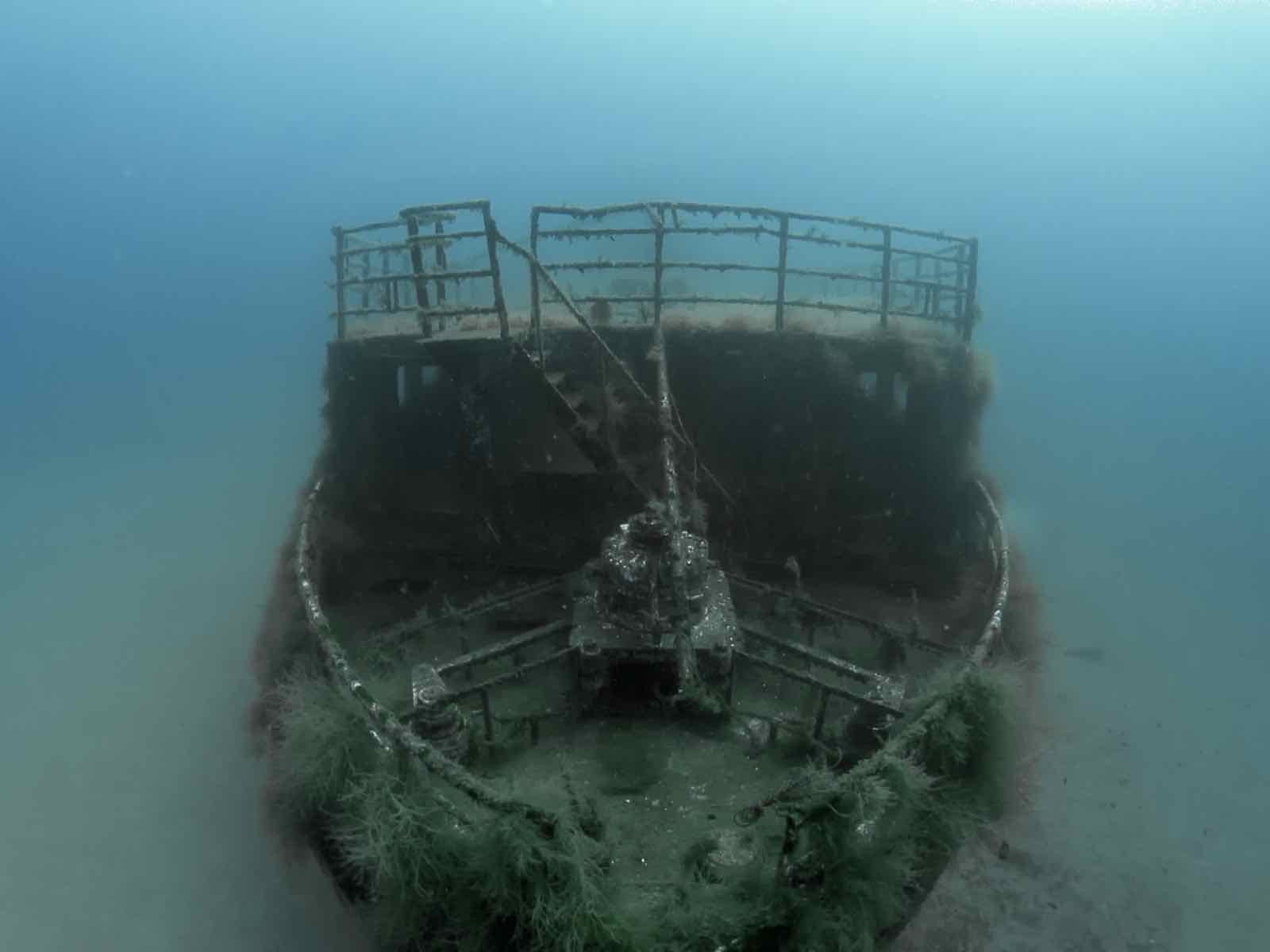
Stern & Propeller
The lowest point of the dive at 22 metres. Begin your dive here before ascending along the hull. The stern gear and propeller are in good condition. Visibility is at its most limited near the silt-covered seabed.
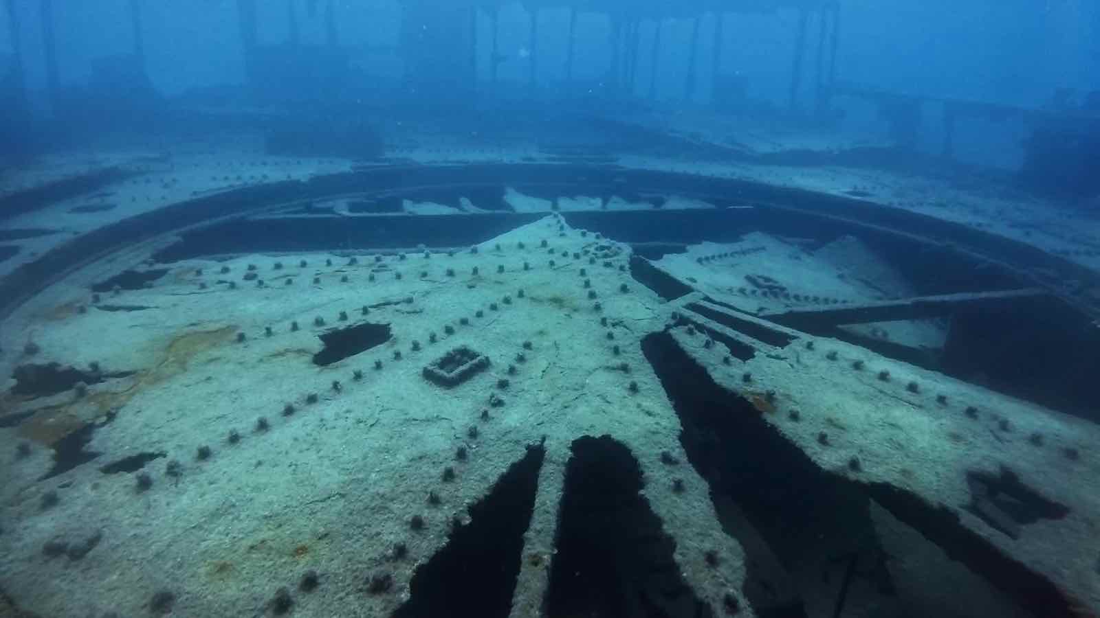
Hull Midships
The widest section of the hull at 7 metres beam. The outer hull plating is largely intact. Octopus regularly den in the joins between hull plates. The slope means you drift upward naturally as you explore.
Bow Section
The shallowest part of the wreck at 5 metres. The bow rises toward the surface and can be seen from above before descending. A good area for a safety stop and final photography before surfacing.
Land Rover Wreck
A short swim east along the creek bottom leads to a separate Land Rover vehicle wreck. The vehicle sits on the same silty slope and adds a quirky second highlight to the dive. Ask your guide for the bearing.